ZAMBEZI RIVER AUTHORITY
2026

Loading page

Project Site Location
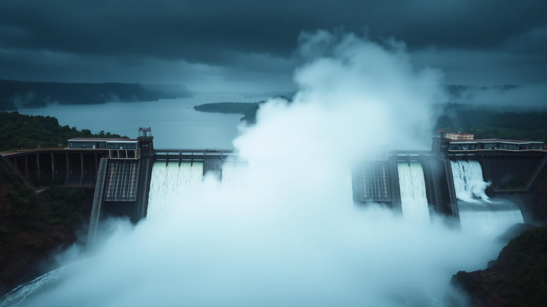
The proposed Devils Gorge HES is located on the Zambezi River and at the downstream end of the Mupata Gorge which lies between the Kariba and CaboraBassa Dams. The dam site is at Grid Reference ST 991-676 of the 1:50000 scale maps.
Background
The Mupata Gorge Dam site was initially investigated in 1981 by Merz& McLellan, in association with Sir Allexander Gibb and Coopers &Lybrand Associates. This assignment was under British Aid arrangements to carry out a feasibility study with a view to formulate a power development plan for the Government of Zimbabwe.
Project Description
| Reservoir | |
|---|---|
| Capacity | 19.8 X 10⁹ m3 |
| Full Supply Level (FSL) | 381 m |
| Surface Area @ FSL | 1230 km2 |
| Dam | |
|---|---|
| Type | Double Curvature ConcreteArch dam abutting onto a concrete gravity wing on the right bank. |
| Height | 78 m |
| Crest Level | 384 m |
| Crest Length | 480 m |
| Spillway | |
|---|---|
| Type | 177.5 m long Central Overflow spillway controlled by radialgates. |
| No. of Gates | 12 |
| Width and Height | 12.5 m wide x 12.5 m high |
| Cill Level | 381 m |
| Design capacity | 14400 m3/s |
| Power StationsType | Two surface-located powerstations will be constructed one on each bank of the riverand just downstream of the dam. |
| Installed Capacity | 1200 MW (8×150 MW) |
Current Status
The scheme is currently not being developed but has been reserved as one of potential sites for future development.